A couple of weeks back we went for a lovely warm walk up the 3rd tallest hill in the Yorkshire Dales, Great Shunner Fell - which overlooks both Swaledale and Wensleydale. In general there seems to be no good round walk from Thwaite as there is only a single path up, the Pennine Way, which continues south to Hawes. So whilst there will be no spectacular photos in this post I thought it might be useful to someone, somewhere, to see how we did it - especially navigating the dreaded peat bogs on our chosen route down.
 |
| Steep sided Buttertubs Pass - some lovely light too. |
The way up is straightforward enough... following the Pennine way from just outside Thwaite until you reach the shelter at the top - a perfect spot for some dinner. Now, unlike most of the people I ever walk with, I quite like to explore... especially rather than walking back down the way we came up. So I found what looked like a vague path - 'pathy' enough to convince the others to go that way, but not 'pathy' enough to keep track of it through the boggy areas. Needless to say, only minutes later we lost the path and were left to negotiate the watery moorland and ditches for the next couple of miles until we reached the Buttertubs road - our way down.
Anyway, here are some pictures and, at the bottom, the route - which you can download and retrace my track exactly to ensure you avoid the worst of any bogs...
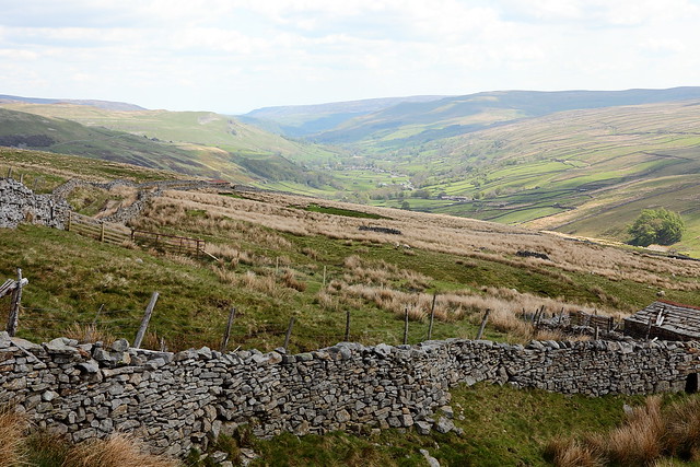 |
| View back over Swaledale |
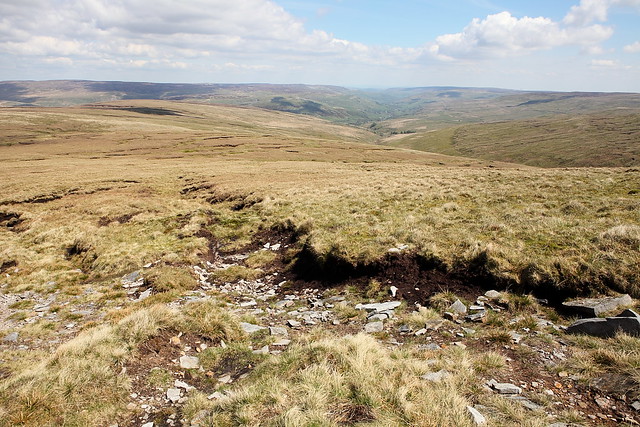 |
| A more distant Swaledale |
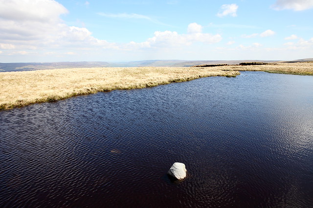 |
| Quite a lot of water... |
 |
| View down the Buttertubs road into Swaledale |
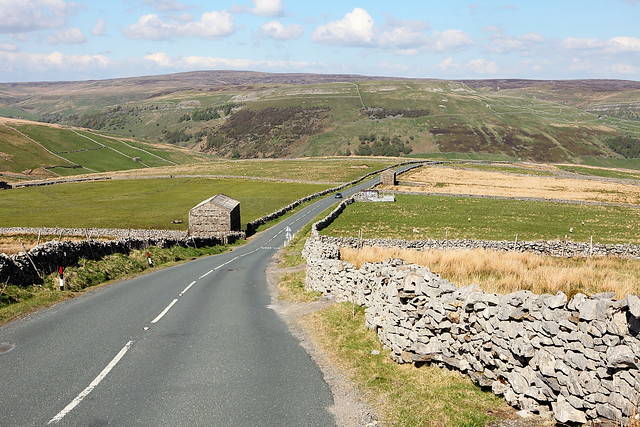 |
| Nearing the end |
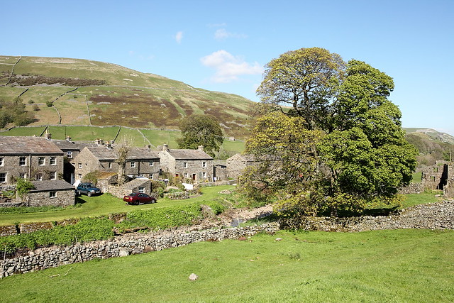 |
| Back into Thwaite |


No comments:
Post a Comment