Ow do everyone!
It is quite unbelievable just how behind I am these days - so much for what started as my 'I'll post every week' rule, which then became 'every two weeks' and is now somewhere around the yearly mark. I thought I'd best put this one up though as for me, it was quite an achievement - my longest walk ever at 22.5 miles (until the 3 Peaks in two months time). A good few miles longer than my previous best, 17 miles in deep snow - which can be seen here.
This is a very well known charity-type walk, and some crazies even run a variation of it in the Edale Skyline Fell Race - so it was something I'd been meaning to do for quite a while. Starting in Hope, you walk (as the name suggests) around the skyline of the upper Hope Valley, overlooking Edale. This takes in Crookstone Out Moor, Kinder Scout, Brown Knoll, Lord's Seat, Mam Tor, Back Tor and Lose Hill, so plenty of ups and downs - but I thought I'd also include a couple of detours. The larger detour being to include Win Hill by walking up around the back near Ladybower before continuing along the usual route - and also a shorter, boggier detour to what *was* the highest point on Kinder Scout.
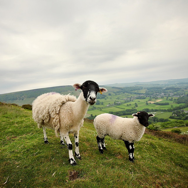
So... I started the walk up Win Hill... which is where I came across those two sheep that didn't seem to want to move - choosing instead just to stamp their feet at me. It was a very muggy morning so by the time I reached the top at about 8.30 I was already needing to start on my day's juice supply...
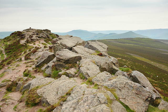 |
| Win Hill |
Next was the nice gradual downhill toward Hope Cross before the trudge up onto Kinder Scout, via Crookstone Out Moor. It was at this point that I came across my first people of the day - all who were, for want of a better word, right arseholes. There were 5 of them who looked like they'd been out camping, I said hello 3 times and not only got no response, but the back one wanted to walk right at me as I moved over to one side of the path. I've met lots of unfriendly city folk before but these lot were a new low.
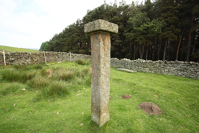 |
| Hope Cross |
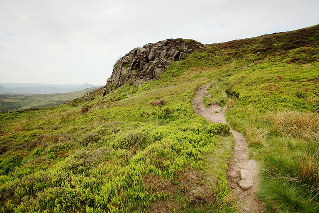 |
| Approach to Kinder, Crookstone |
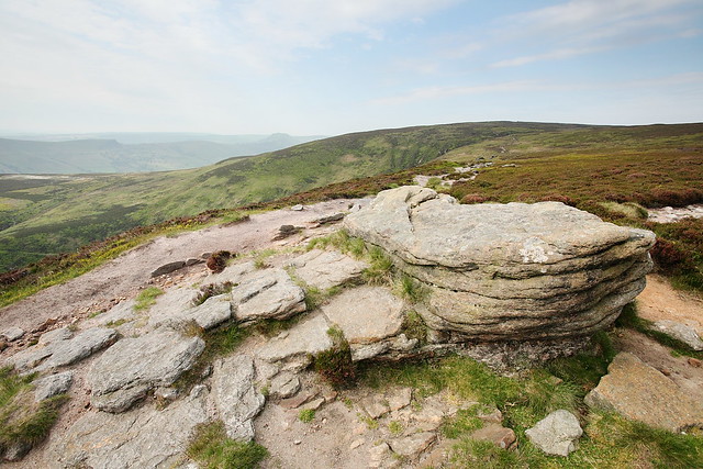 |
| Eastern Kinder Scout |
After this it was a good number of hours until I ran into anyone else, around the Grindsbrook area. I also must admit to going wrong somewhere along the moorland path here... a path on Open Street Map doesn't really exist in real life so I had a bit of a wander through the fresh heather to re-find a path that would take me up onto Kinder - not too hard but quite scratchy on the legs when wearing my new 'short' shorts. Nowt like the sight of my knobbly knees (especially after they turn bright red due to sun burn later on!). This was also the point at which I realised that this walk was going to hurt. Anyone who knows me knows that I have muscles that pull and strain at the slightest hint of over-stretching - I carefully manage my runs and exercise routine around this - and it became quite obvious now that something was amiss with my left thigh... something which would get quite frustrating for the rest of the walk but I was never going to let it stop me or ruin the enjoyment. Having waited months to get around to doing the walk I would just have to get on with it!
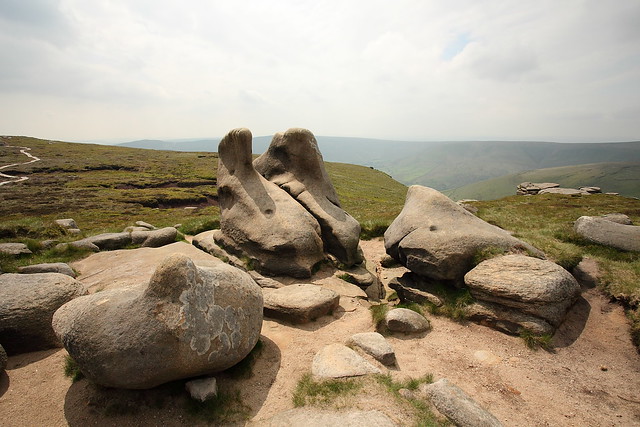
Anyway... Off I headed along what must now be my most walked Peak path after having never even been up Ringing Roger way until Feb this year - but having now walked it about 10 times. Walking along the edge of the plateau until just after Crowden Head where I stopped for lunch among the amazing rock formations overlooking the cloughs at the head of the valley.
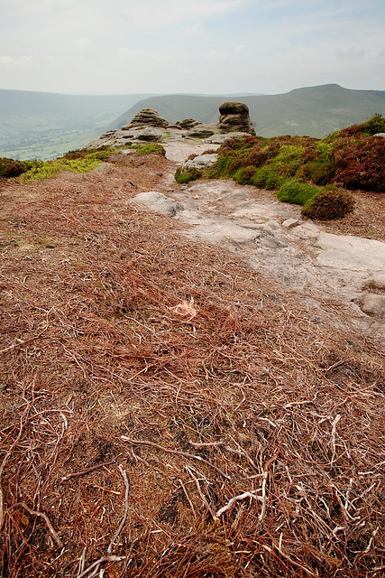 |
| Ringing Roger |
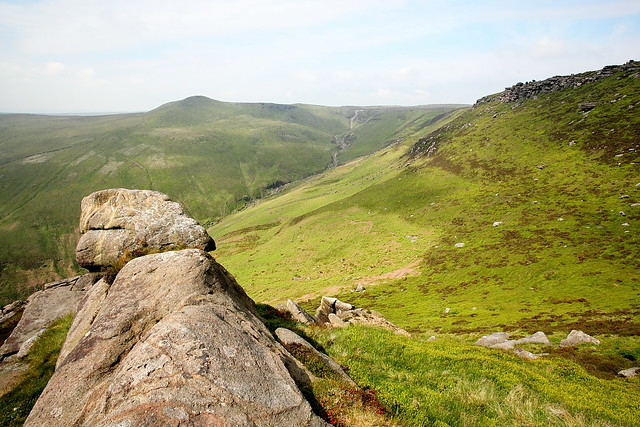 |
| Grindsbrook |
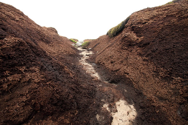
Next was my second little detour. I've once previously tried to find the true highest point of Kinder Scout, as marked on maps - but greatly underestimated the peat bogs (see here). This time I knew what was in store and planned to walk up one of the mini-valleys to find the spot... and did! However, Kinder Scout as marked on the maps (636m) is definitely, by my eyes at least, no longer the highest point.
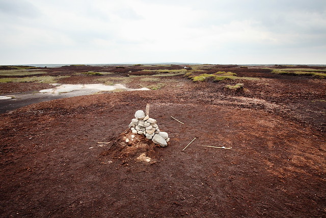 |
| Kinder Scout... apparently the highest point... |
This is the spot marked on the maps, and with a quick look west toward Kinder Low (on that last blog post link, the trig point on top of the rock) it is clear to see that this is lower down. Kinder Low is measured at 633m and I would guess that this spot is now at least a couple of metres below that. I have read that in 2009 Kinder Scout had shrunk slightly due to the peat erosion - so it is quite plausible that such an effect has continued and has now moved the highest point - but why maps haven't been updated... I don't know? Maybe I'm the first to notice this?
After a brief exploration of nearby higher points (and helping a fellow bog explorer find a track off) I found my own way off back to the south and continued round. The next section is toward Brown Knoll at the head of the valley - and was definitely the quietest section of the walk. I met one other person, sat at a trig point, who it turned out was exploring in preparation for doing my walk exactly in a couple of weeks time for charity. It was really nice to be on my own again, with miles of muddy track in front of me and not another person in sight, and the warm wind blowing waves into the endless cotton grass.
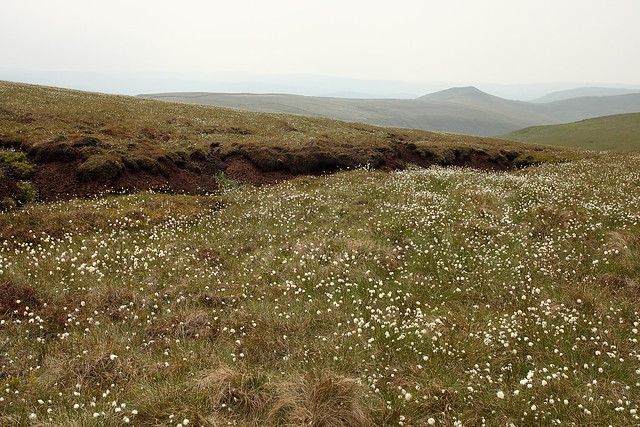 |
| Near Brown Knoll |
Now for the not so quiet Great Ridge and the final stretch. By this point I was rationing my juice supplies and my legs/feet had started to hurt all over - which was oddly pleasant in that it took the focus off my thigh problem. So... one foot in front of the other until the end... I won't go on about this section as you've all seen a million photos and walks along here before by me... so here are a few pics to prove I did it before I move on...
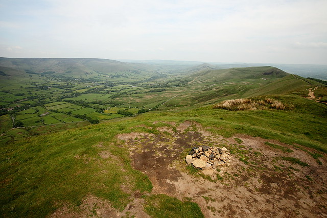 |
| Lord's Seat |
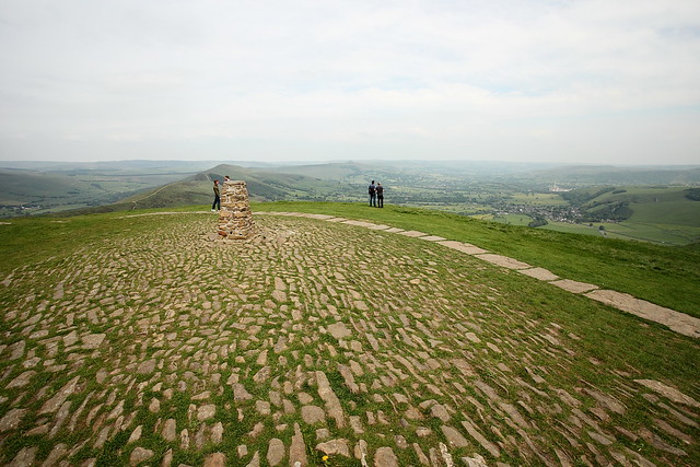 |
| Mam Tor |
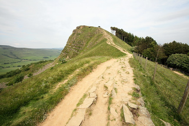 |
| Back Tor |
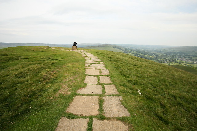 |
| Lose Hill |
Finally, I plodded back down to Hope station via the Spar for some much needed refreshments. The (almost) full map of my walk can be seen below... you just need to add on a section at the start where it wasn't recording along with a section just after Win Hill where it seemed to stop recording again...
Overall, I highly recommend this walk... a long hard slog in the middle of summer but worth every bit of pain. Also, I'd love to hear anyone else's thoughts on the Kinder Scout oddity... have you noticed this?



There was an article in a recent copy of Trail Magazine (I think) about Kinder's true summit. Definitely tricky to 'find.' If I remember rightly, it was sort of in the middle of the point you have taken a photograph of, Kinder Low trig, and the point marked on the OS map (which all form sort of a triangle?). I can't quite remember now, maybe I'll go dig that issue out :)
ReplyDeleteGreat pictures!
Cheers Simon... and yeah, I had a good wander around to all the highest point I could see actually - so one of them must have been it!
DeleteI'm still quite sure though that they were lower than Kinder Low? Not sure whether the rock at Kinder Low counts (surely it should?) but it even looked below the ground-level there. Who knows, I may just have crap perception of height!