Last week we, finally, went for a walk up Whernside - the highest 'peak' in Yorkshire at 736m above sea level - on what turned into a lovely hot summers day. We set off from the always impressive Ribblehead viaduct on our ~8 mile round trip never having been to the top of this hill before - which I still can't really believe. The other two of the three Yorkshire peaks (Ingleborough and Pen-y-ghent) were clearly visible the whole way through as a result of the lack of cloud, with Ingleborough looking particularly imposing - so much so that we have been lured into walking that again tomorrow, so you can expect a post on that next week.
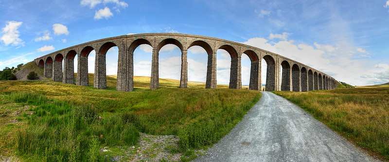 |
| Ribblehead Viaduct |
The track from Ribblehead is very well trodden, no real need for maps or anything, so we could just set off up with the simple aim of coming down somewhere on the other side - and the viaduct makes a very easy-to-spot end point.
Right near the start of the walk, following the stream up, you come across the very pretty Force Gill waterfall. It's a good distance off the main track, but is unmissable, so well worth the detour through very boggy fields for a closer look. All of my shots of the waterfall had to be cleverly composed to hide a swimmer enjoying the cool pool at the bottom...
 |
| Force Gill... and no sign of the swimmer! |
From here the path starts to climb a little steeper and it takes surprisingly little time until you are on top of the ridge and approaching the peak. From here you have the most amazing views in all directions - the Howgill fells to the north, going round to the Lake District mountains and the Irish sea in the west, Ingleborough and Pen-y-ghent to the south and the rest of the Yorkshire dales to the east... it really couldn't be better.
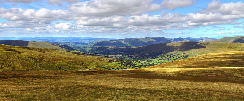 |
| The Howgills in the centre |
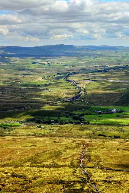 |
| The view back down over Ribblehead and Pen-y-ghent in the distance |
 |
| The view back from whence we came. The Howgills on the left and the rest of the dales on the right. |
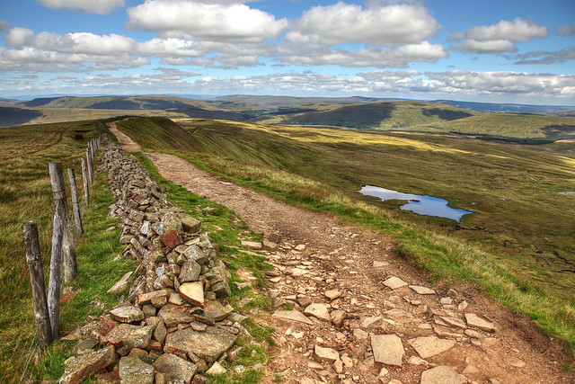 |
| I think my favourite shot of the day. Nice sky, reflections in the tarn, lovely lines and a stunning view. What more could I ask for. |
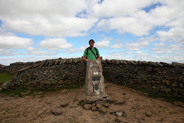 |
| Proof that I made it to the top! |
Upon reaching the peak we stopped for some dinner - as it seems, did everyone else - and a good few friendly folk that we had met further down the mountain caught up with us too (it seems we walk faster than I thought...). Incidentally, it must be one of the best things about walking - it weeds out all of the miserable city folk who have no time for anything or anyone and everybody says hello and chats to you... if you don't walk up hills and just look at my photos just go and give it a go and see...
Now the views down the other end of the ridge for our descent were no less spectacular than those from before...
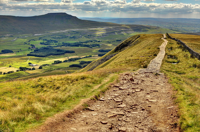 |
| Ingleborough. My favourite hill/mountain and tomorrow's challenge. |
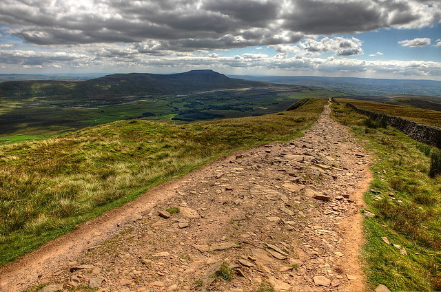 |
| This shows how easy it is to not get lost. |
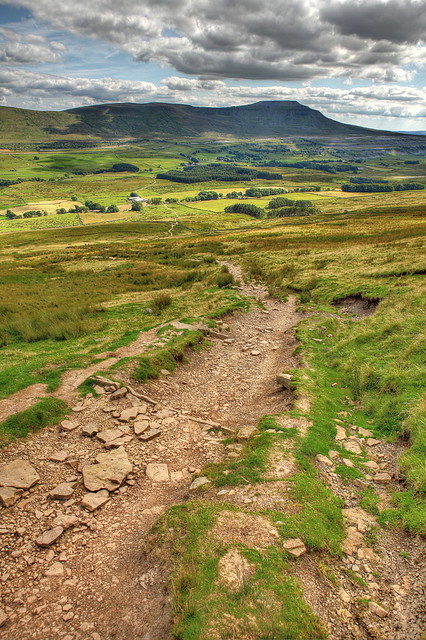 |
| A bit lower down, still looking at Ingleborough... |
The final part of the walk - after a very steep section, that almost verges on steps but not quite and is certainly enough to liven the walk up - is, in contrast, a rather relaxed affair... through the farmland of the valley bottom all the way back up to Ribblehead viaduct and the Station Inn. This is a very important stop at the end of the walk, not only for the chance to sit down and enjoy a nice cool pint of cider, but for this amazing weather forecasting stone...
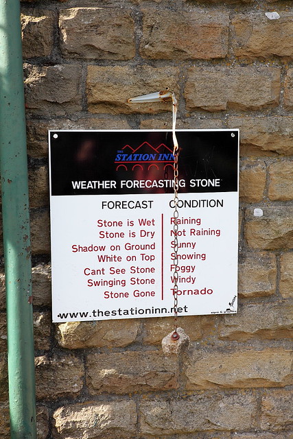 |
| Amazing... the Met Office need to get hold of one of these... |
So after all this, we just had time to stop at Hawes 5 minutes before the creamery closed to run in and grab some Vanilla and Rhubarb Wensleydale... before heading home. All in all, a very lovely day and a walk with views to rival any other.


Thank you for sharing as we are new to Yorkshire and Uk and love to walk out in the open spaces b Your photos are awesome and really show us what to expect.
ReplyDeleteThanks very much! Not sure if you'll get this message as you are apparently 'anonymous' but I hope you like what you find over here. Where are you living? Let me know if you ever want any advice about places to visit!
Delete