The three peaks just wasn't long enough for me - so I added on Little Ingleborough and Plover Hill to the usual route - along with a detour down to Ingleton Waterfalls and Twistleton Scar. Okay, so Little Ingleborough and Plover Hill are just alternative routes and sub-peaks of two of the main three peaks - but the Little Ingleborough route in particular adds a good amount of extra descent and ascent as you pass near Trow Gill... and dropping down almost to Ingleton adds loads more climbing to the summit of Whernside! So realistically, this is much more comparable to 4 Peaks in terms of both ascent and distance (31.5 miles rather than the usual 24 mile route)... and I rather miraculously -beyond any kind of expectations - completed it in 10hrs exactly. Before I go on, you can see the route below (backwards)...
I've long wanted to break the 30 mile barrier - I almost did it accidentally twice last year down in the Peak District - with a wander round Bleaklow and Kinder and a completely unplanned, and underprepared, and probably plain stupid Alport Castles walk. So getting tantalisingly close last year meant that I just had to do it this. One of the things I'd had in mind for a while is to do all the edges down in the Peak. Fairholmes - Grindleford via Derwent, Stanage, Burbage, Millstone, Froggatt, Curbar, Baslow, Birchen, Gardom's.... etc... and back up via White Edge. Logistical difficulties, however, put this on hold, so I thought about returning to my favourite walk instead and with some seemingly obvious detours it added up perfectly to just over 30 miles.
I was up at 4.20am to shove some Weetabix down my neck before going to catch the 5.21 train - and two hours and three minutes later I was stepping off at Horton in Ribblesdale and heading off in the opposite direction to all of the other 3 Peak early starters that day.
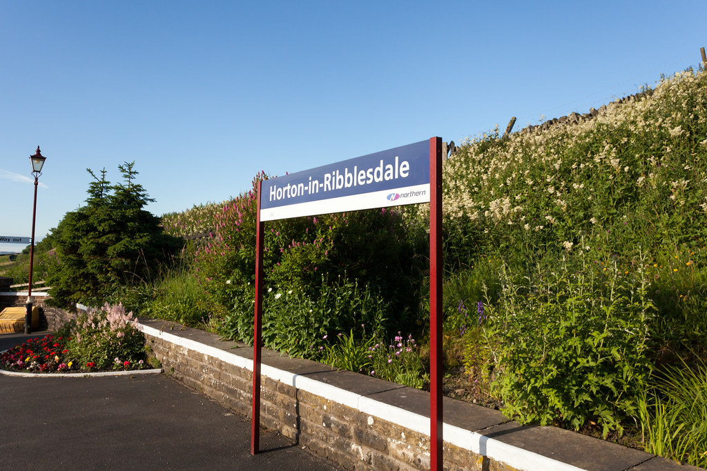 |
| And so it begins... |
The start of this walk is a nice, steady climb out of the valley to the level of the limestone pavements. It doesn't take long to level off though and you get to ease your legs into it as you turn left from the main path and skirt along the northern edge of Crummack Dale, before the frustrating descent into Clapham Bottoms that adds an extra climb up the steep side of Little Ingleborough.
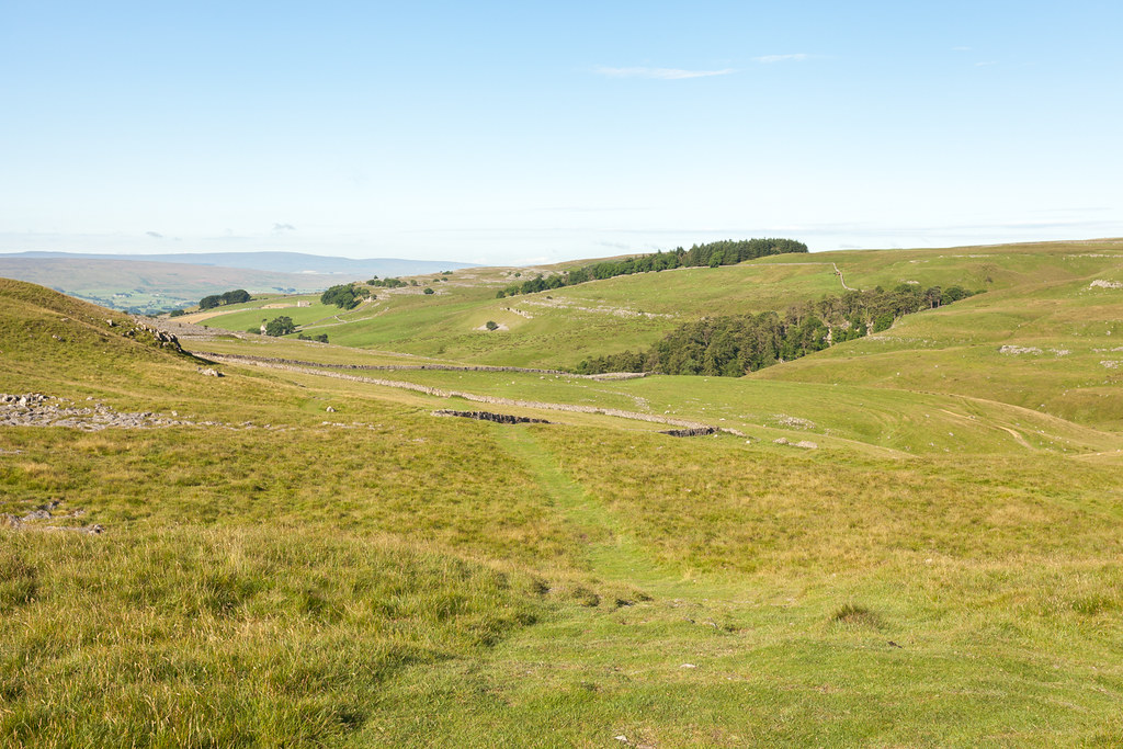 |
| Down towards Trow Gill. |
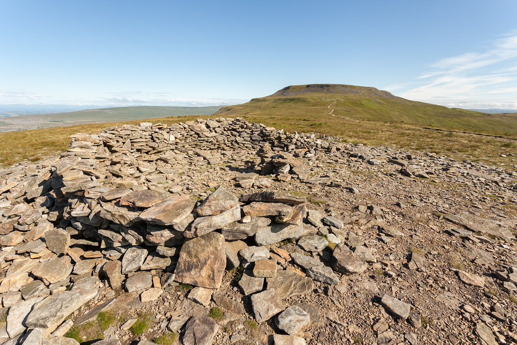 |
| Little Ingleborough shelter. |
After a 2 minute break to enjoy the solitude and take in the views - anticipating the summit itself being fairly busy already - I made the final short climb up to be pleasantly surprised that for the second time in a row I had the plateau to myself. Last time it was at 4am for my sunrise up there, but this time... at 9.30am... I expected a decent crowd so this really was the most pleasant of surprises. I was right on time too, my initial timings had me completing the route in 12-13hrs and I reached the trig point precisely 2hrs in.
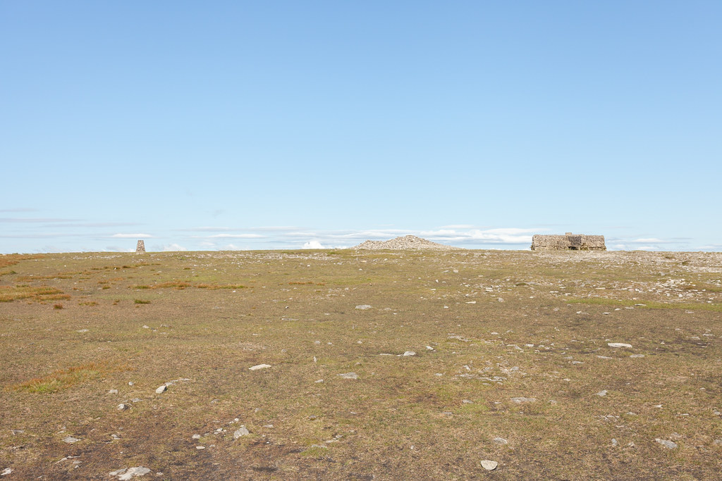 |
| Not a soul in sight. |
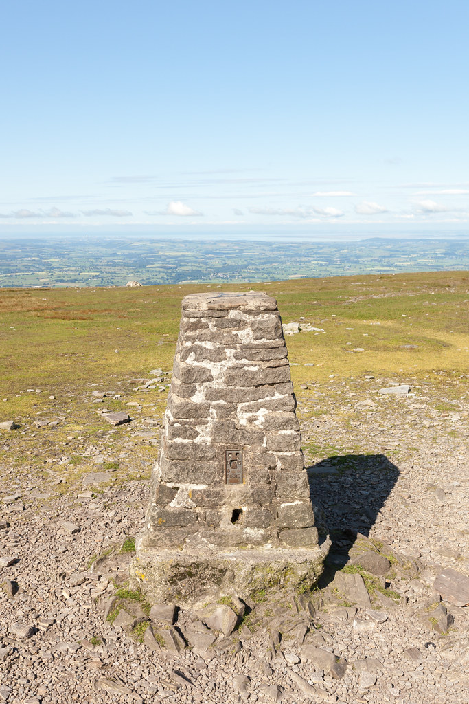 |
| First one done, 2hrs in. |
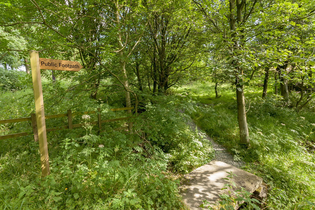
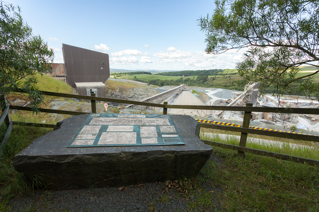
Next up was a new bit of walk for me - dropping down towards Crina Bottom - where I saw my first other people of the day - and Ingleton, before taking a sharp right across the fields down to the top of Waterfall Walk and the quarry... which even has a viewing platform!
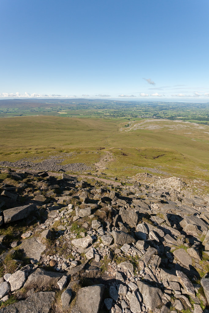 |
| The way down. |
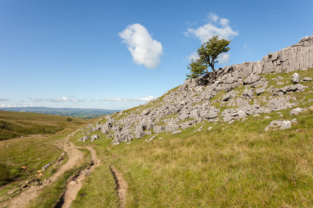 |
| Some lovely sunset possibilities around here. |
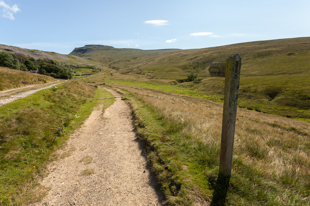 |
| The famous view back up from Crina Bottom. |
 |
| Towards the quarry... |
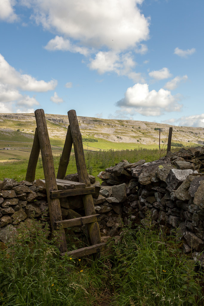 |
| The light was really beginning to come good now - the view to Twistleton Scar. |
 |
| A 50m detour to this beautiful view. |
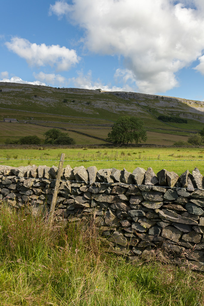 |
| Dappled light below the limestone. |
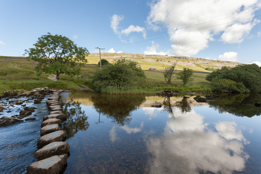 |
| Very tempting to turn left here and include waterfall walk too! |
By now, cloud was starting to bubble up which threw some lovely dappled light across the landscape as I began the long slog up the shoulder of Whernside. I'd never wandered along the tops of Twistleton Scar before and there are some amazing features in the ground up there. Looking up to the summit though, it was only now that I started to realise how fast I was going. I realised that if I didn't have a break and really pushed myself on the climb, I was going to be at the half way point in exactly 5hrs... with the two biggest ascents out of the way! The nice round number of a total 10hr target came into view and I couldn't resist... so now, at about midday, I had my first food in 8hrs as I scoffed some sandwiches and a chocolate bar on some of the flatter sections of the ridge.
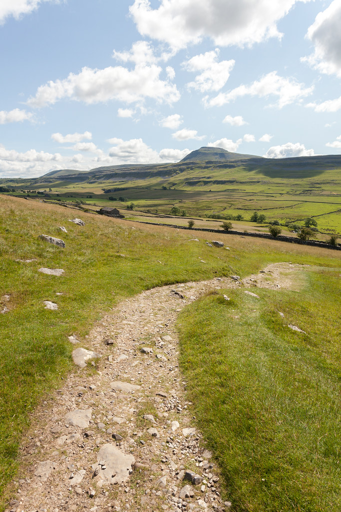 |
| Looking back to Ingleborough. |
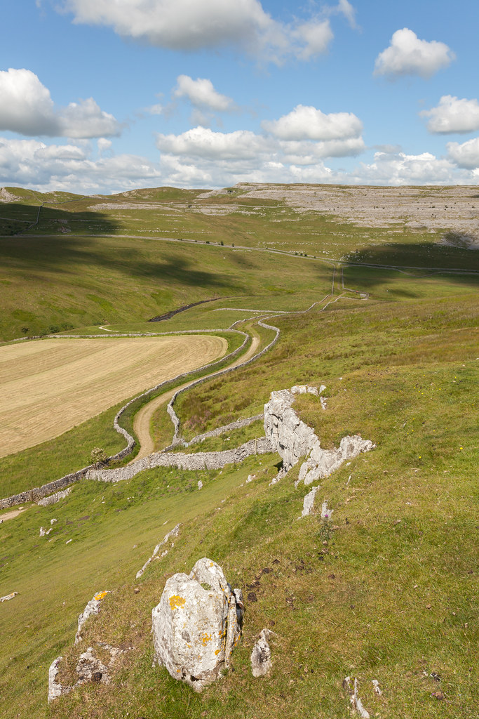 |
| Looking north to Leck Fell and Gragareth (ish). |
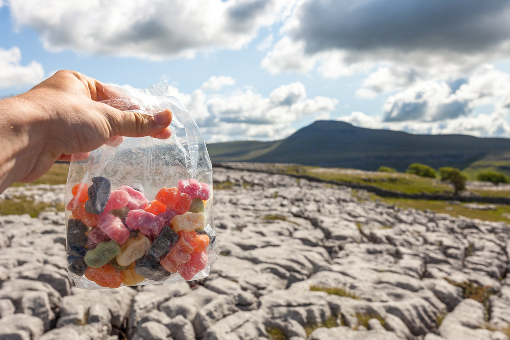 |
| The famous view... with Jelly Babies. |
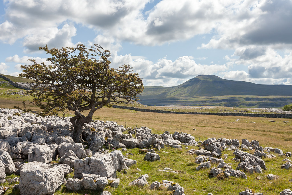 |
| The famous view... again. |
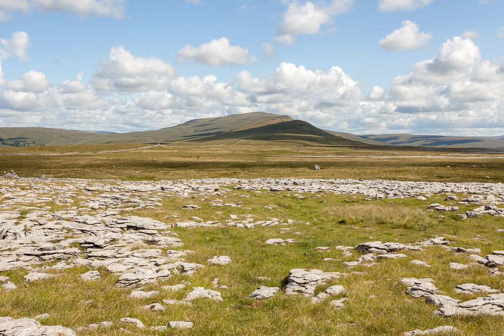 |
| The ascent ahead - a steady but long climb. |
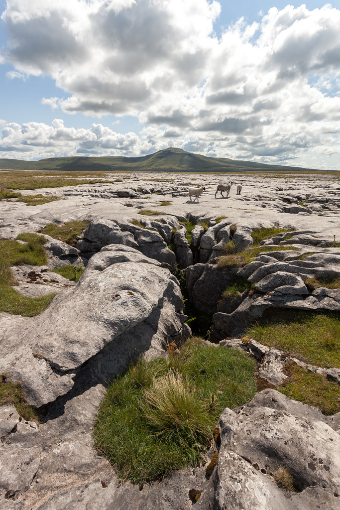 |
| Some of the amazing limestone features up here. |
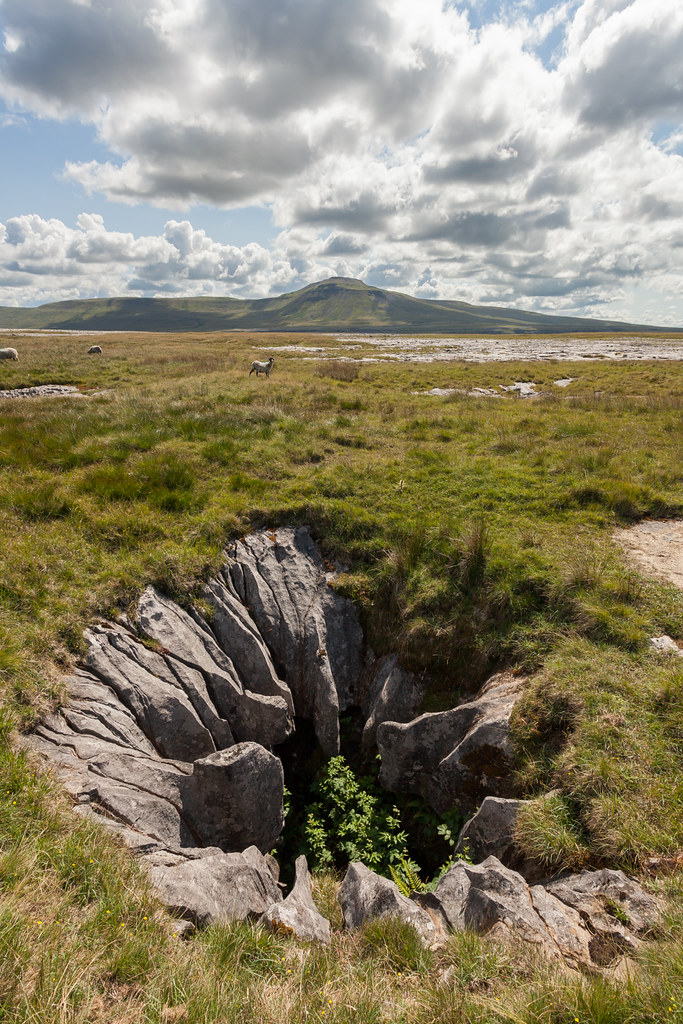 |
| I didn't expect to come across this one - but recognised it instantly from a book cover... http://www.amazon.co.uk/Three-Peaks-Under-Yorkshires-Wonderland/dp/099299179X . |
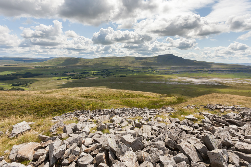 |
| Slowly gaining in height, this was somewhere near Combe Scar. |
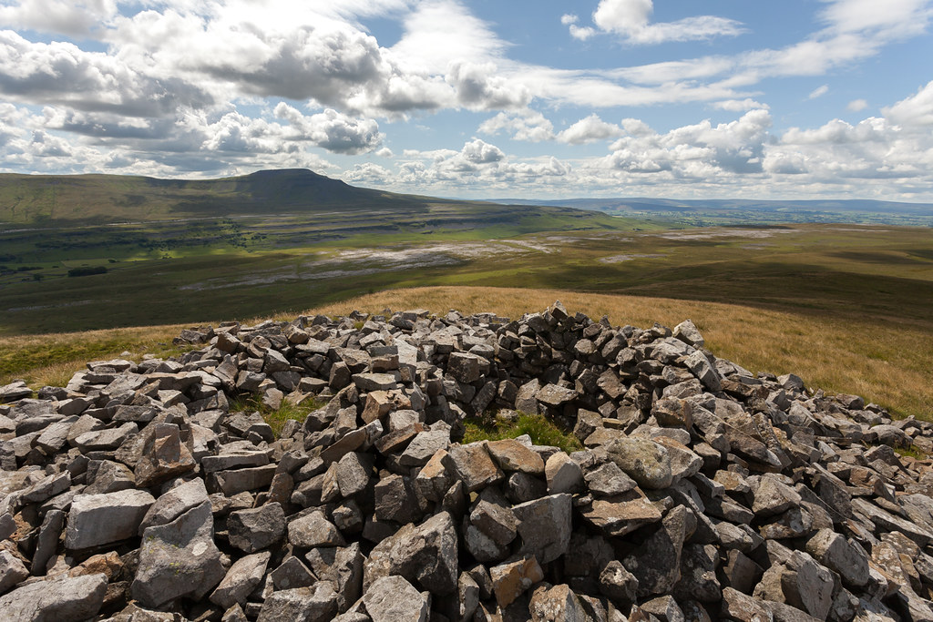 |
| Couldn't resist another snap... |
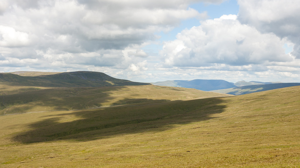 |
| Looking north towards the Howgills under some beautiful clouds. |
Once I rejoined the main 3 Peaks path I quickly realised that I'd perhaps picked the wrong day for this - as an endless stream of charity do gooders somewhat ruined the ambience and beauty of this summit. The views were, of course, as beautiful as ever - with the one looking back towards Ingleborough one of my all time favourites (I'm eagerly awaiting the chance to capture this with an inversion one morning!)... so I still took a few snaps.
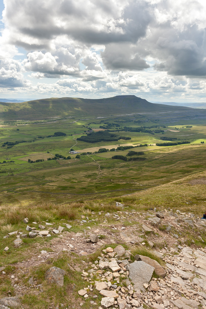 |
| One of the best views in the Dales. |
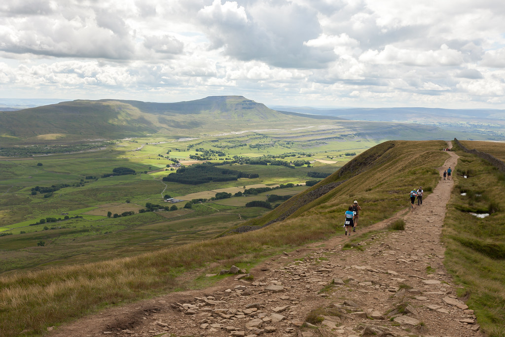 |
| Back on the main path. |
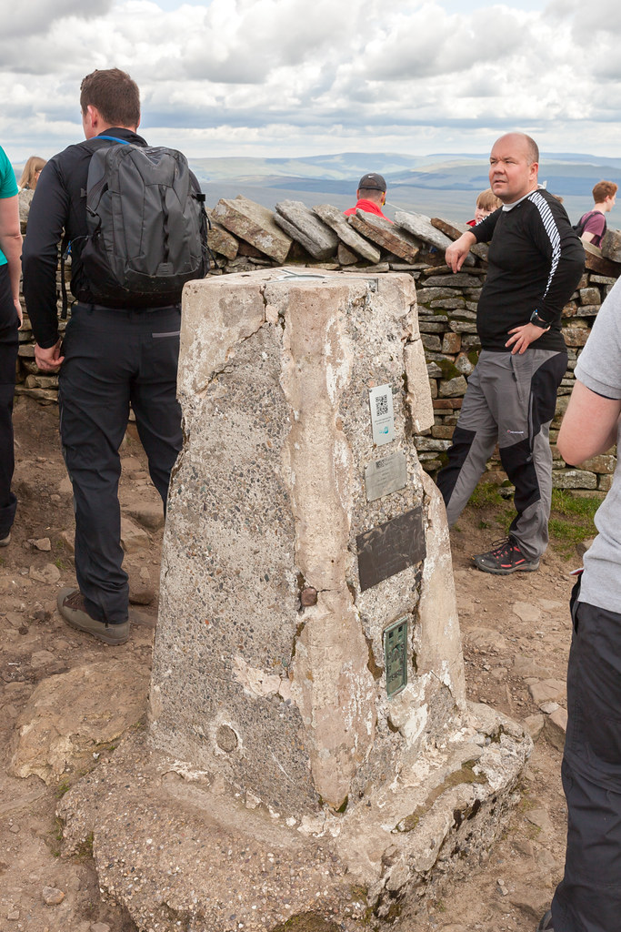 |
| A slightly crowded half way point - Whernside trig point. |
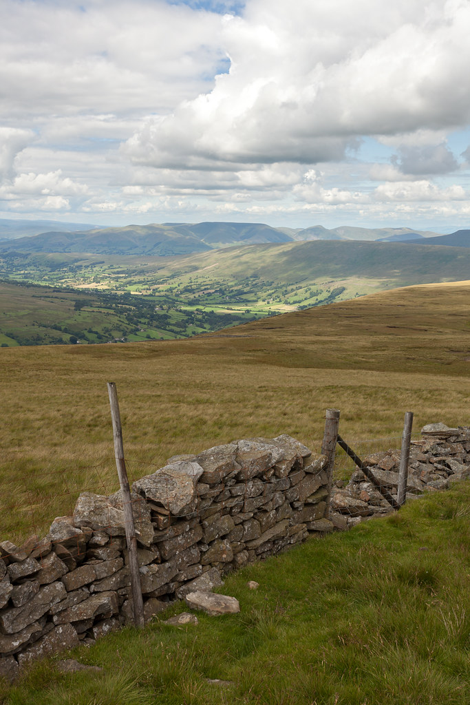 |
| Looking down Dentdale. |
On the way back down Whernside, towards Ribblehead was where the situation got worse. When I say it was busy... I mean busy like walking down the Shambles in York on a summer's Saturday afternoon. An endless stream of rude people who don't normally spend time in the outdoors and don't like to even look up to see you coming the other way... meaning that on many occasion I was left bouncing off people into the bogs either side of the flag stones. I'm sure many of them are/were very nice human beings really, but it was certainly a very frustrating situation. Still... I made it to the bottom in just under an hour and very much enjoyed some of the colour...
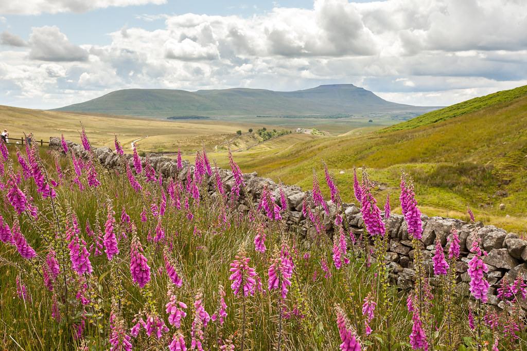 |
| I do wish these orchids would still be out in 2 months time, with the sun setting in that gap to the right of Ingleborough. |
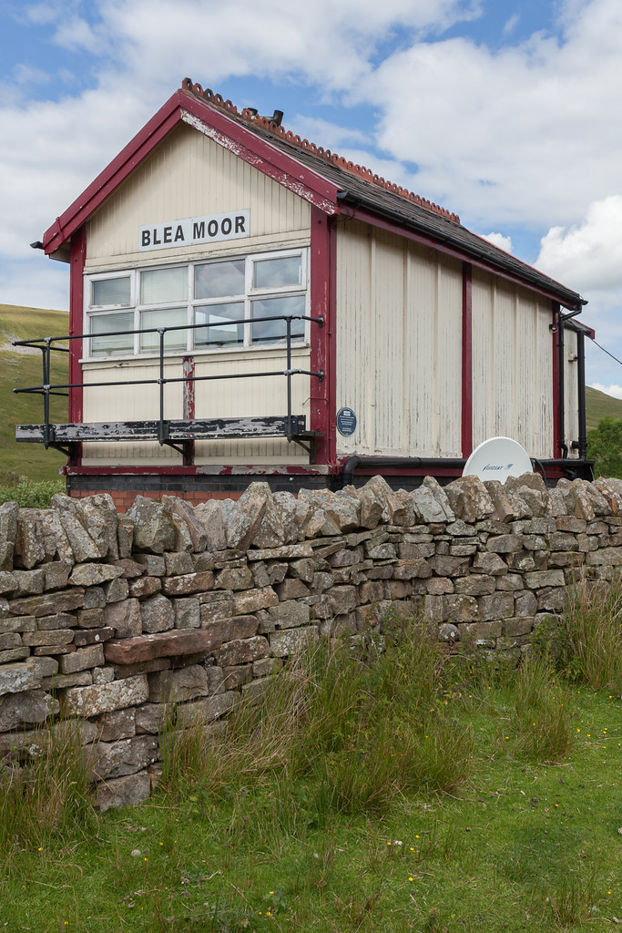 |
| Obligatory Blea Moor shot. |
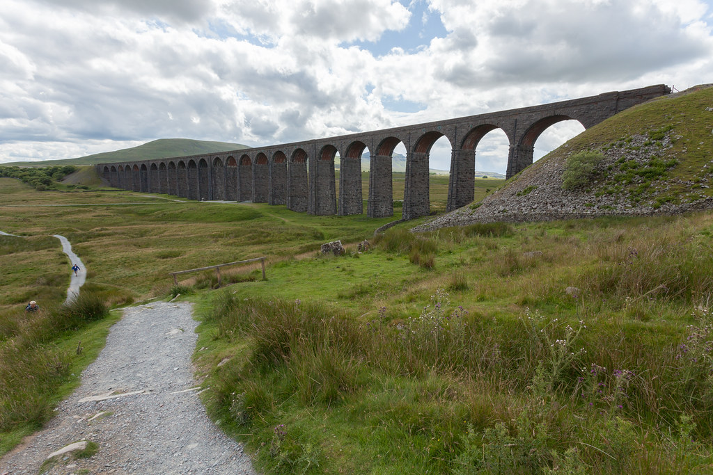 |
| A welcome sight, confirmation I was 2/3 of the way through. |
And now came the stretch I dread... it's never the hills that takes it out of me, it's the long hard slog over the relatively flat - but still undulating ground - between Whernside and Pen-y-ghent. But first, it baffles me how there is yet to be a decent connection between Ribblehead and Lodge Hall - with walking along the road always a terrifying experience due to the lack of verges, sharp bends and motorcyclists flying past at ridiculous speed. How hard could it be to put a path in somewhere?
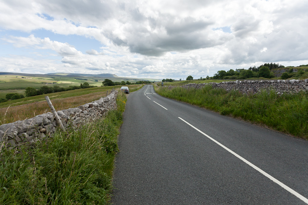 |
| Horrible roads with horrible road users. |
Once you leave the road the slog really begins and this is where I really began to struggle - both mentally and physically, I knew I was slowing down but just couldn't find anything left to speed up... an odd sensation to be aware but unable to change it. That was until I realised how little I'd actually eaten in the day - so a couple more chocolate bars and a can of diet Coke later and within minutes the strength had come back. I'm not sure whether it's psychological or our bodies really can work that fast to break down the sugars and get them to where they're needed - but it was just what I needed at that point. It was here too, that the first of the day's rain began to make itself known. The forecast had been for possible showers in the east, so I was expecting a dry day from start to finish - but I of course packed my waterproofs just in case. This first shower passed over without much need to cover up, but was a useful reminder to keep an eye over my shoulder as I approached Plover Hill... and it did give me more fantastic light on the landscape. One thing to note on this section is - when you reach the Pennine Way - don't follow the new 3 Peaks signpost unless you want to add another mile or so onto the walk - continue straight over the mound in front of you up a well warn old path. It does get boggy, so in wetter months perhaps the extra mile option would be easier and you can see why the newer detour has been made, but in the summer the old route should be fine.
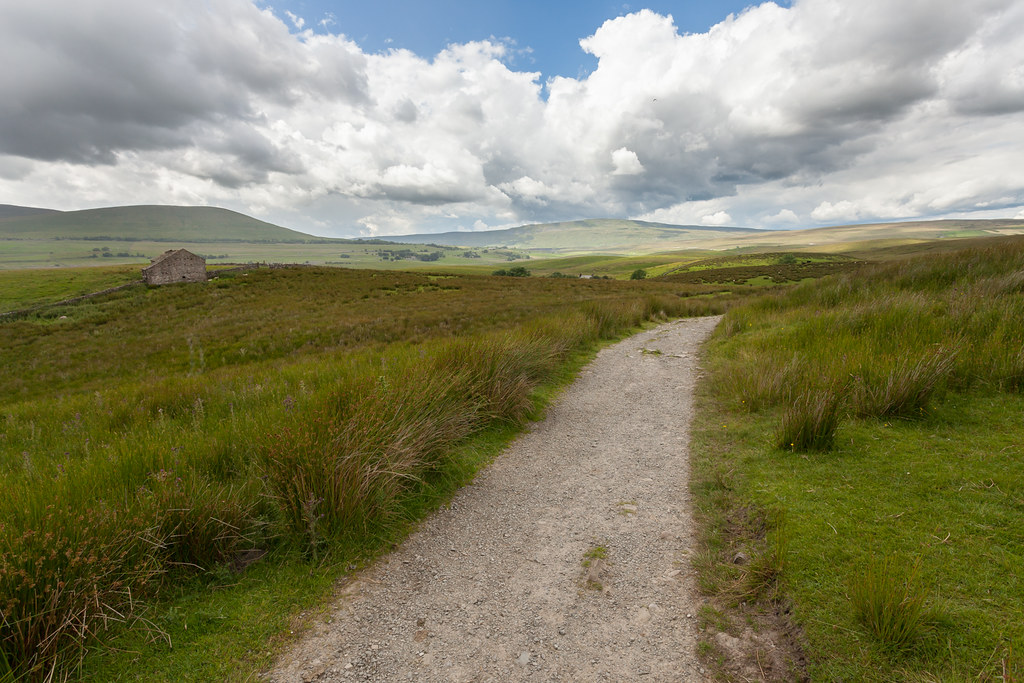 |
| Looking back towards Whernside. |
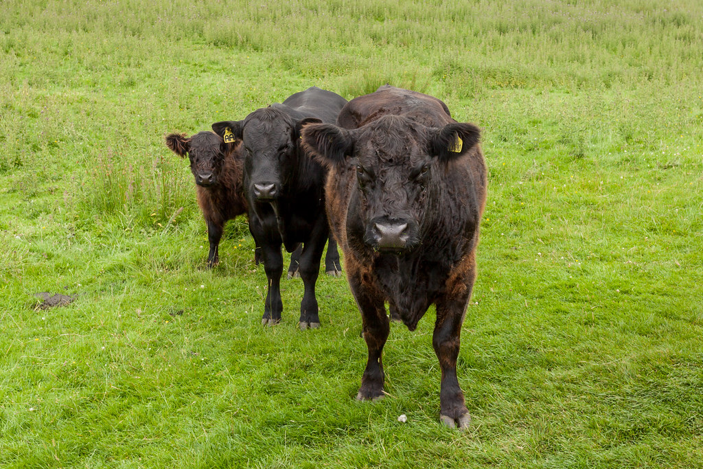 |
| A heard of cows was strewn right across the path, they seemed relaxed though... so no problems here. |
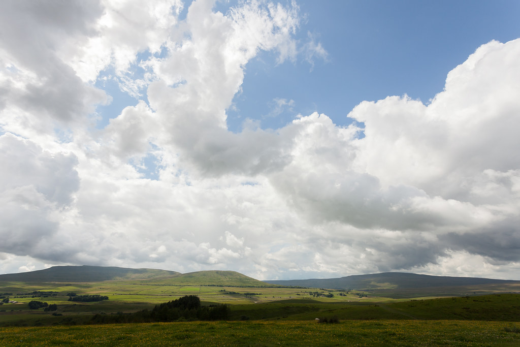 |
| Ingleborough and Whernside as the cloud builds. |
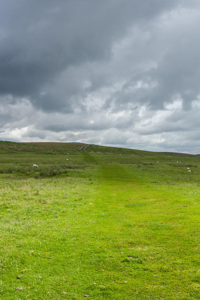 |
| Chasing the light as it flashes across the ground. |
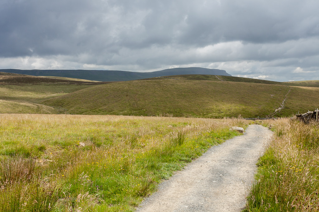 |
| After the first brief shower as the light broke through beneath gloomy skies. |
Upon reaching Hull Pot beck and taking a sharp left to send me round the northern slopes of Plover Hill, things really did begin to look ominous over Ingleborough. For a long while it looked as though the rain was just going to sit over there, but as I approached the climb it made itself known. I'd already put my camera in my bag as I looked up at the somewhat terrifying looking path up the side of the hill... and it's lucky I had because that was the last of any picture taking for the next half hour or so. The path itself takes you diagonally above a sheer cliff - and being only a foot wide it's one of those where you want to push into the grass on the safe side - but you don't want too much horizontal force to mean your feet might slip. There's an especially horrible section where a large boulder juts out and the path bends round it... only that a couple of stones have fallen away and you have to step over a rather precipitous drop. Anyway, I survived and I'm sure many of you will think nothing of it!
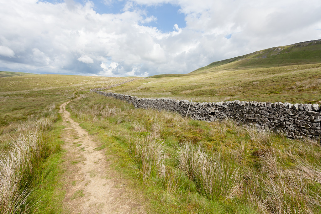 |
| The last of the light before the rain came in - heading north around Plover Hill. |
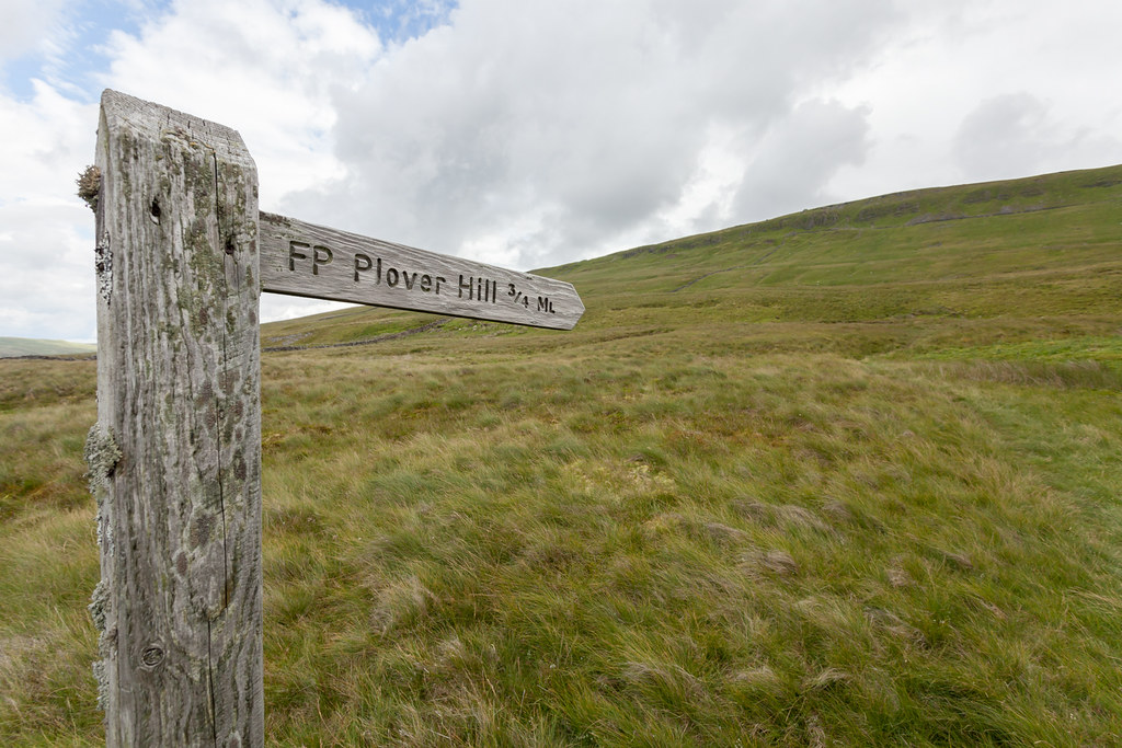 |
| Looking up at the crags - wondering where the path could possibly go? |
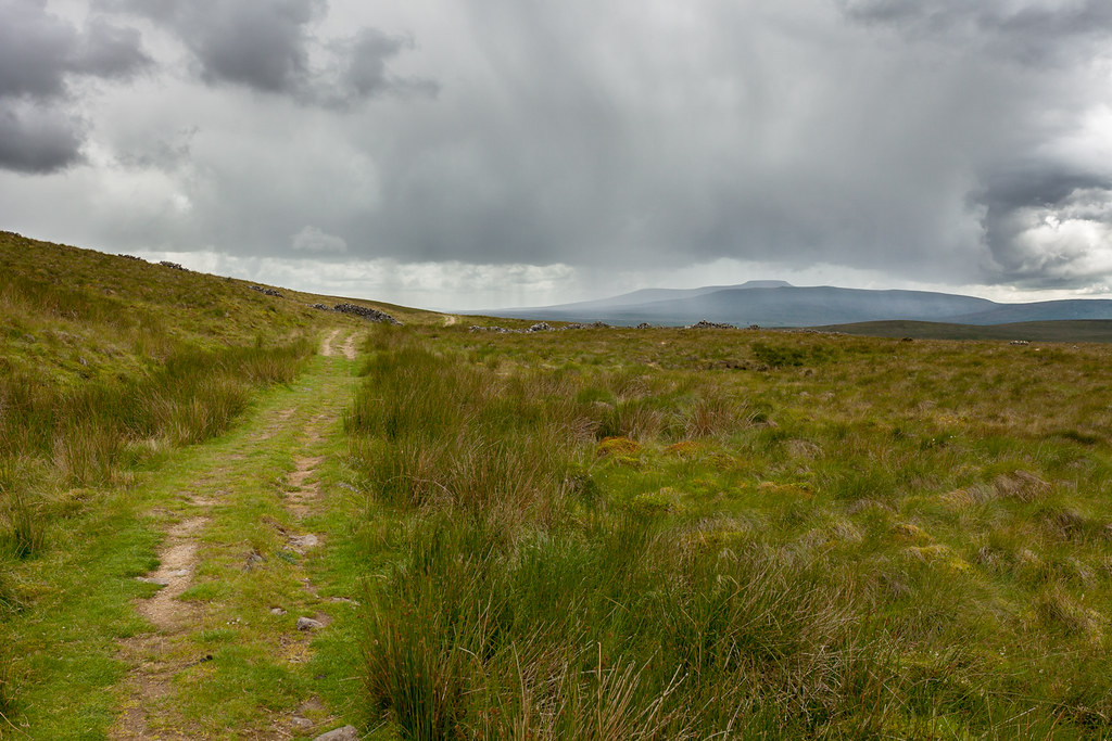 |
| Incoming! It doesn't look much, but it was so slow moving. |
Once up on top and exposed to the wind and driving rain - it really felt exhilarating to be out, and once more off the beaten track and away from the crowds. Whilst there may not be any pictures, it's these bits of a walk that really make you feel you've earnt it - so it was a lovely feeling to trudge across the boggy top of Plover Hill towards the summit of Pen-y-ghent with the rain blasting a refreshing feeling into my somewhat painful legs.
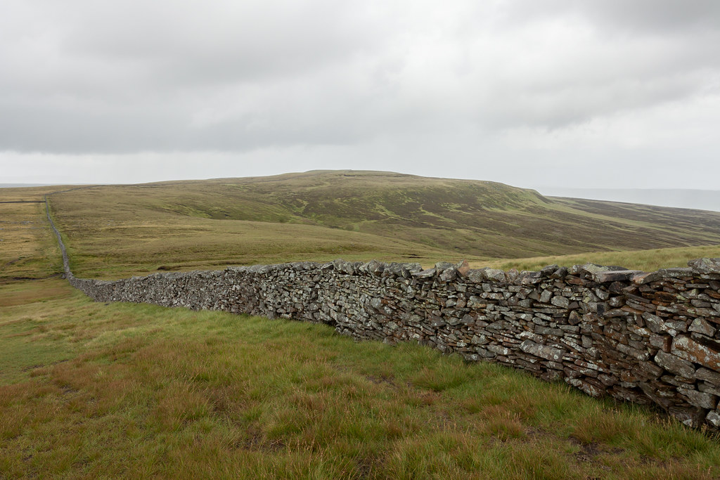 |
| Once the worst of the rain had passed - approaching the summit of Pen-y-ghent, looking back at Plover Hill. |
It was also here that I was starting to realise I was losing ground on my new 10hr target. Pen-y-ghent looked miles away and I had to get over to it and back down to Horton in 50 minutes... I was really regretting that slow section down below - which I increasingly believed to have been totally avoidable if I'd just eaten better. The target looked almost impossible, but I decided to still go for it. A jog up the final ascent of the day put me at the final peak with 40 minutes to go - and the only thing left that could slow me down was that somewhat steep, scrambly first section of the descent.
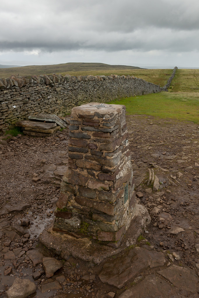 |
| Done! All downhill from here... |
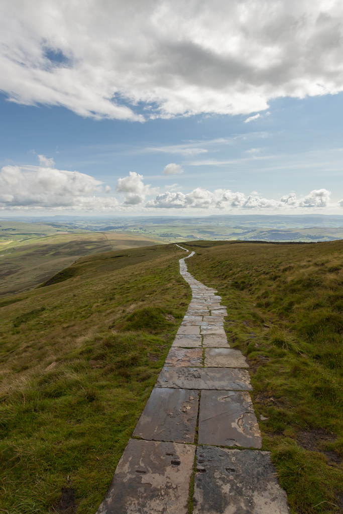 |
| The approach to the steep section, as light breaks through. |
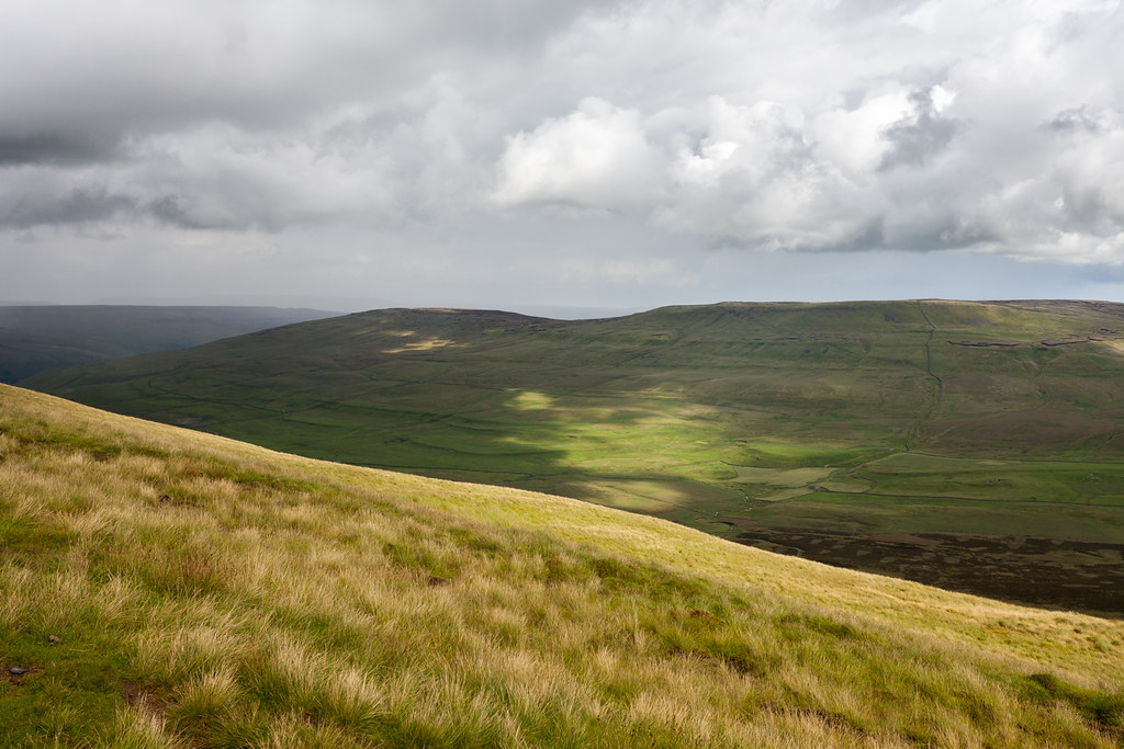 |
| No matter what rush I'm in, who can resist light like this?!? |
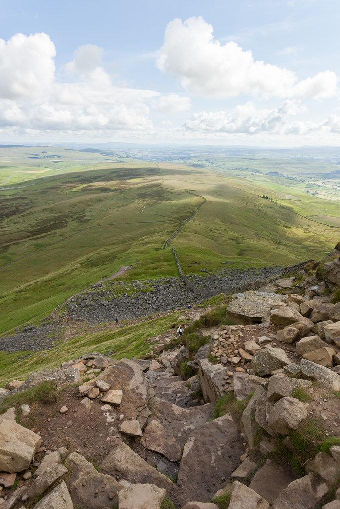 |
| Photos never make things look as steep as they are. Especially fun in deep snow is this one. |
Next I sacrificed a few precious minutes to pack away my coat, drink my water to lighten the load, refuel on Jelly Babies and then went for it. The whole way down was a mix of running, sliding and stopping to take photos... before instantly regretting doing so as I had to make those minutes back up. The light was just too good not to though...
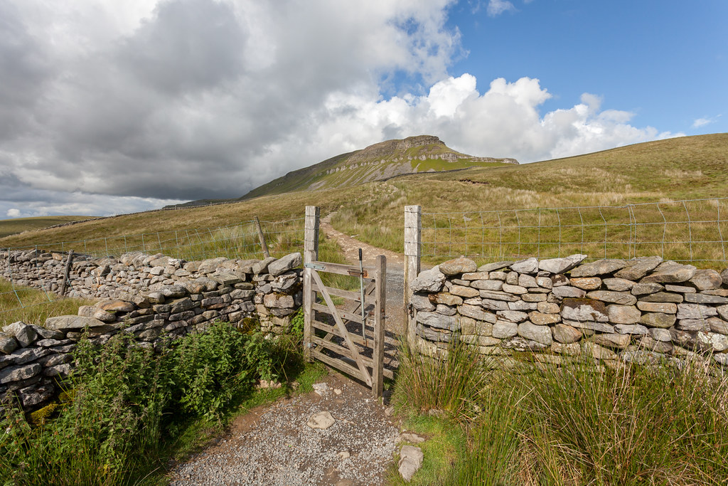 |
| Looking back towards Pen-y-ghent (I closed the gate properly a moment later!). |
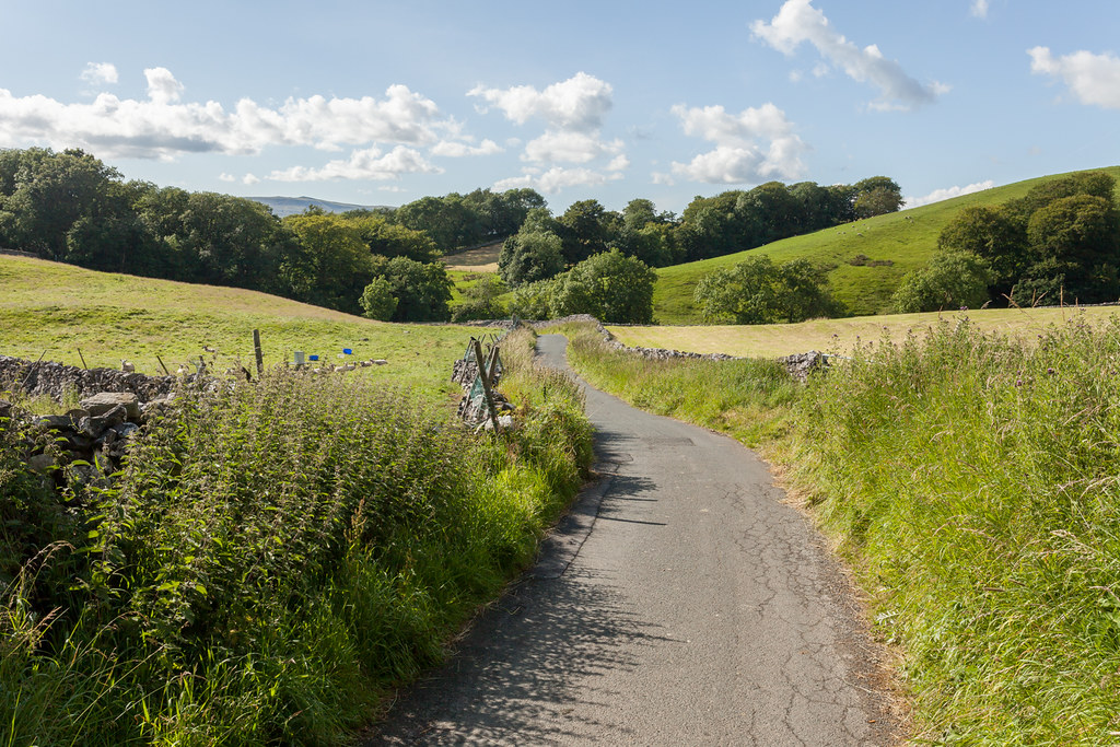 |
| Nearly there... |
When running on the harder ground of the road at the bottom, my right leg just kept cramping up so I must have been quite a sight to the few people I limped past! I ended up getting back to the cafe - where I'd decided to stop to top up on drink - with 3 minutes to spare exactly (which was enough for me to know that I could have made it to the station if I'd tried in under 10hrs!)...
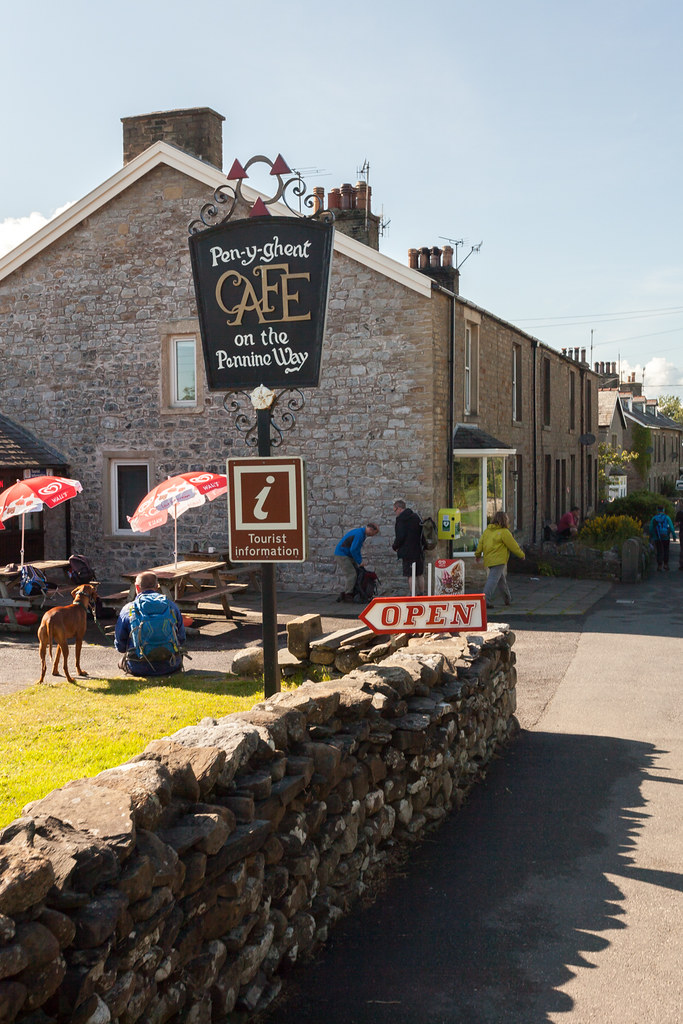 |
| REFRESHMENT! |
So what's the next target? I'm not entirely sure. 30 or so miles is close to my limit at least mentally, if not physically, as the aches and pains really start to set in at about 20 miles for me - but the distance on top of that is always bearable as you know you're most of the way through... something which would no longer be the case if I aimed for 40 miles. But who knows, maybe I'll just man up and do it one day... it's only a couple of hours more pain really... and I think I could significantly lessen my difficulties if I ate better whilst going round.
In terms of the 3 Peaks, this is a lovely variation which takes you away from the crowds for long periods - even on a beautiful Saturday in the middle of summer. So I'd very much recommend it. If you're downloading the route at the top of the page too - I also recommend you do it backwards as I did... I'll try to get the route updated but I found it much better doing Ingleborough-Whernside-Pen-y-ghent as it leaves Ribblehead as a perfect emergency stop/top up point if you're struggling close the usual 3 Peaks distance (about 21 miles in here, I seem to recall). That and it gets the majority of uphill sections out of the way early.


No comments:
Post a Comment