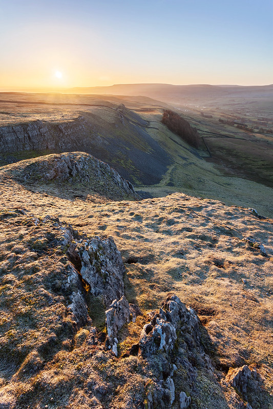
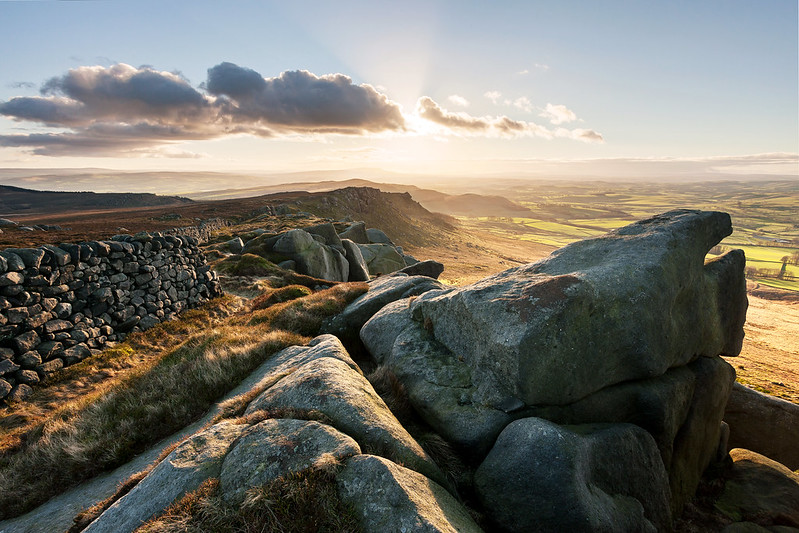
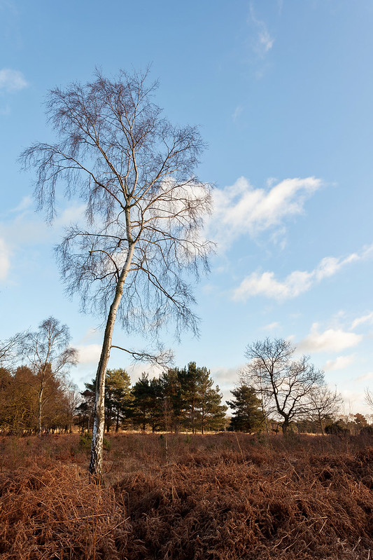
I thought that at least a few people would be interested in how I approach visiting a new location - with all the planning and ideas that go into it. It's a convenient subject as it's only 2 days since I went through this process - so there are some brand spanking photos to go along with it.
Usually, when visiting a new location, it's because it's been on your list of places to go for a while and you have a load of ideas in your head of what to do with it, but every now and then you just find yourself with a free evening, some changeable weather and the urge to get out. This trip kinda fits into the latter category. The Yorkshire Wolds have been on the periphery of my radar for some time now, I knew I should explore over that way, but their lack of drama kept me away... I kinda knew what they looked like, what the feel of the place was like and had seen a few beautiful photos before, but had never had a proper explore myself. The only time I'd visited before was when I shot sunset from the very edge of the Wolds having rushed out after some nearby A level physics tuition.
So I was basically starting from scratch with an hour or two before having to head out. Now, onto the planning...
First things first, check the weather, satellite, radar, everything. Is it worth the trip to head out that way? Is there a cloud bank coming in? How quickly are the showers moving through? The Met Office website is an amazing resource - with imagery updated every 15 minutes, you can get a precise picture of what is heading your way and see if it differs from the forecasts at the very last minute.
The next step is to get onto the maps. Bing have full OS maps and this is endlessly useful - I'll get onto what I look for shortly, but it's important when viewing potential locations to have the angle of the sun in mind, along with the weather which we have already looked at. For this, I use suncalc.net, although there are numerous other tools. So... what do I look for on the map? There are a few things... not all are related to the Yorkshire Wolds, with their lack of crags and rocky outcrops... but still...
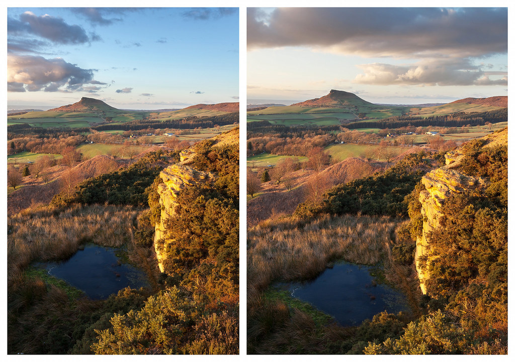
The first thing I look for is obvious dramatic features, and on this occasion I was very close to being tempted out to these crags in the North York Moors... but, having decided they were too far away, had to settle for something closer... hence the Wolds.
Here's the location I chose...
This is where Google Maps comes into its own. It's always worth having a quick scroll along Streetview to find potential parking places... and in just a few minutes I found a decent spot along that main road through the centre of the image, just below where the reservoir is labelled.
But why did I pick this location?
Perhaps this second version of the image will make things clearer...
With the sun setting in a north easterly direction, I had two valleys within a few hundred yards of my parking spot that would benefit from some side light. The contour lines are so clearly perpendicular to the setting sun that out of locations 1 and 2, at least one of them must work... (you'd like to think!). These could be photographed at any point late in the day, the sun being higher in the sky might even be beneficial... so these were clearly worth visiting an hour or two before sunset.
Luckily, after 45 minutes standing around under cloud, the light did come good about 45 minutes before sunset... so having got my shots, I had a decision to make.
I decided to rush back to the car, and visit the 3rd location. The sun always softens as it approaches the horizon, the light on the landscape loses its intensity and side lit shots become harder to make something of. The crispness from earlier in the golden hour is lost - so this is where I begin to think about shooting into the sun. It's always nice to have options, and if you can find views both away from and into the sun in a single trip then it baffles me why some folk would not want to do both.
As you can see, from point 3 on the map above, the sun sets right up the valley from where I could be stood. And it's only a 5 minute drive from my first locations... you could almost even walk it given a little extra time. I've gone from shooting at 90 degrees to the light to shooting right into it, all in just 40 minutes... and it was all plan-able (should the clouds behave themselves) from the comfort of my desk before even heading out. If you want to get the most from a couple of hours, with a vast range of images each with a different feel... then this kind of thinking is the way to go.
Now, backtracking a bit... what other resources do I find useful before heading out? Well... Flickr is the main one. Depending on the location, you'll get endless photos back or just a handful, but so long as you find something it is certainly helpful in getting some sort of idea of the place. You never want to copy what you've seen, but it can help you decide, in conjunction with the maps, if a location is all it's cracked up to be. It may look amazing on the map, as my first North York Moors map shows at the top of the page... but when you get to Flickr you find that those rocky outcrops are nothing more than messy boulder fields - so it's worth checking! Googling the name of crags/rocks/cliffs often throws up some useful results too - with the climbing community having loads of photographs of locations that have otherwise gone unnoticed by photographers.
Anyway, I think this is the messiest, most incoherent blog post I've ever written - but I suppose that just reflects the messy thought processes that go into choosing a place to go and photograph along with the many strands that go into such a decision.


