Thursday 27 June 2013

Wild Camp No.1

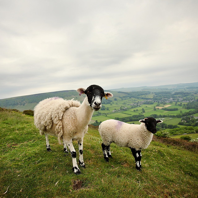
Seems an age ago now... but right at the start of May, sick of not seeing a sunrise for a whole month, I decided to go camping. Those of you that have been following my photo-ing for a while will know that I don't have a car (I can in principle drive, but this is the life of a student who spends all his PhD money on photo gear) so I rely on the Hope Valley train line to get me places. The earliest train is 6.20am, arriving about half an hour later - which for the winter months is absolutely fine (if quite an effort to rush up hills in time) - but this was my first summer of serious photography so it didn't take long for me to get itchy feet.

As usual, all the photos in this post are available, or can be made available, on my website.

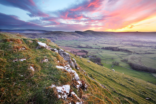
I've never woken up to a better view.

Friday 21 June 2013

Edale Skyline

Ow do everyone!

It is quite unbelievable just how behind I am these days - so much for what started as my 'I'll post every week' rule, which then became 'every two weeks' and is now somewhere around the yearly mark. I thought I'd best put this one up though as for me, it was quite an achievement - my longest walk ever at 22.5 miles (until the 3 Peaks in two months time). A good few miles longer than my previous best, 17 miles in deep snow - which can be seen here.

This is a very well known charity-type walk, and some crazies even run a variation of it in the Edale Skyline Fell Race - so it was something I'd been meaning to do for quite a while. Starting in Hope, you walk (as the name suggests) around the skyline of the upper Hope Valley, overlooking Edale. This takes in Crookstone Out Moor, Kinder Scout, Brown Knoll, Lord's Seat, Mam Tor, Back Tor and Lose Hill, so plenty of ups and downs - but I thought I'd also include a couple of detours. The larger detour being to include Win Hill by walking up around the back near Ladybower before continuing along the usual route - and also a shorter, boggier detour to what *was* the highest point on Kinder Scout.


Monday 10 June 2013

Great Shunner Fell

A couple of weeks back we went for a lovely warm walk up the 3rd tallest hill in the Yorkshire Dales, Great Shunner Fell - which overlooks both Swaledale and Wensleydale. In general there seems to be no good round walk from Thwaite as there is only a single path up, the Pennine Way, which continues south to Hawes. So whilst there will be no spectacular photos in this post I thought it might be useful to someone, somewhere, to see how we did it - especially navigating the dreaded peat bogs on our chosen route down.

Steep sided Buttertubs Pass - some lovely light too.